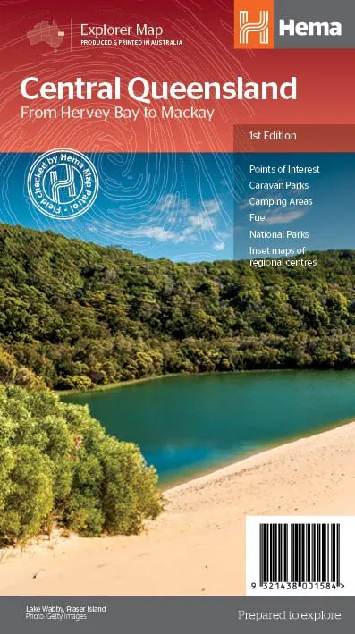
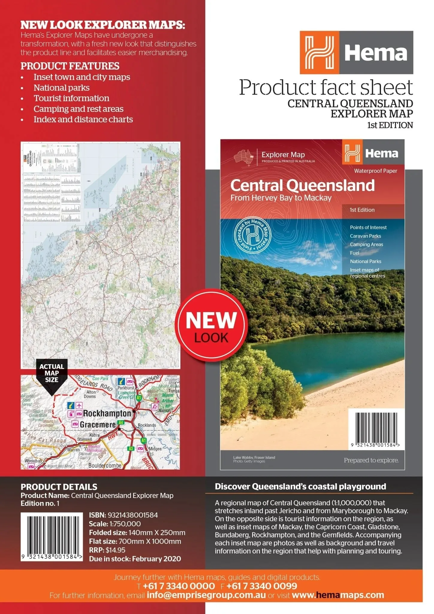
Regional Map of Central Queensland (1:1,000,000) – 1st Edition
Plan your next journey through Central Queensland with this highly detailed regional map. Spanning from Maryborough in the south to Mackay in the north, and stretching inland past Jericho, this map is an essential resource for tourists, campers, and adventurers alike. With tourist information, photos, and inset maps of key locations, it provides everything you need for exploration and travel.
Features
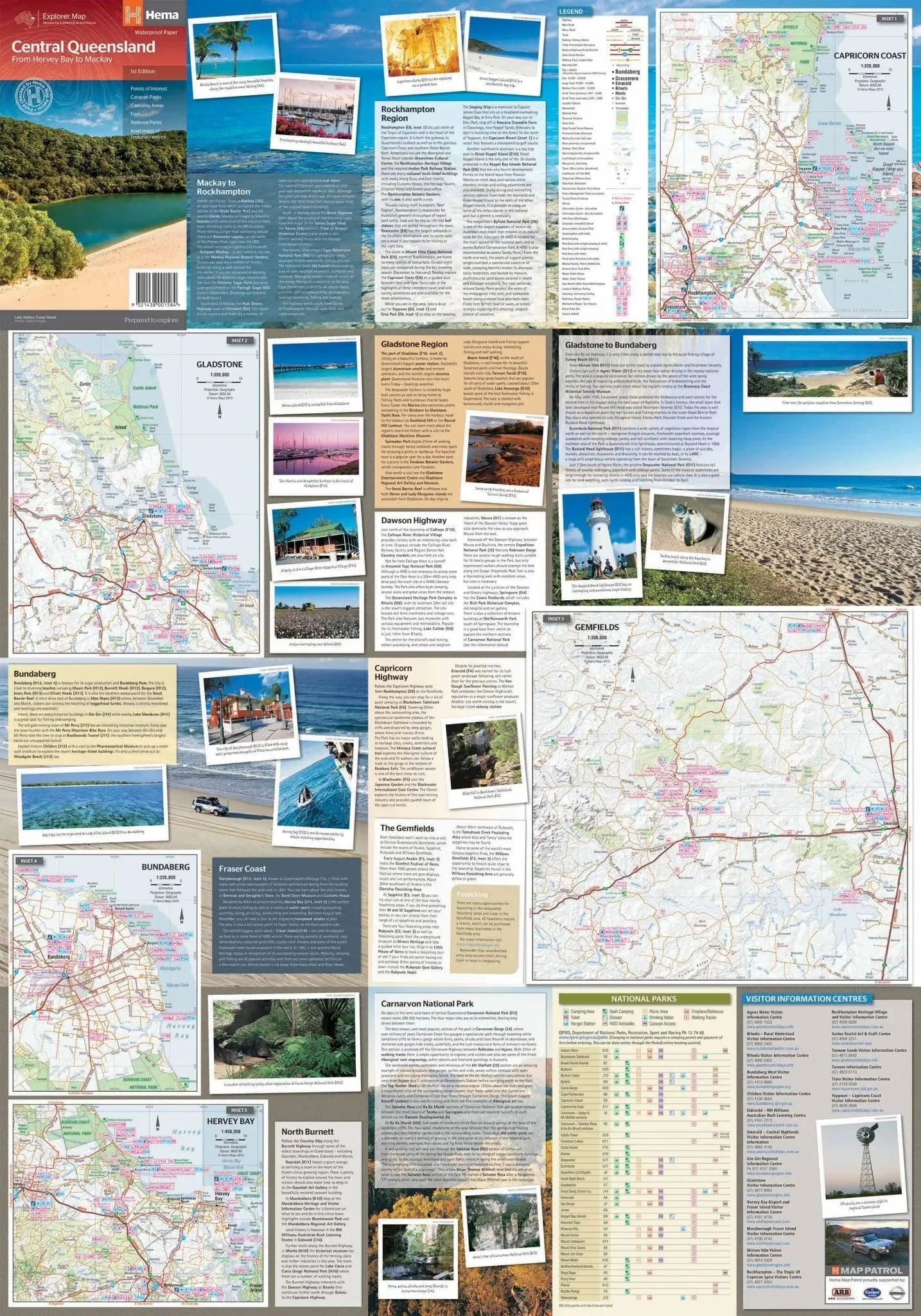
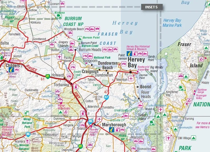
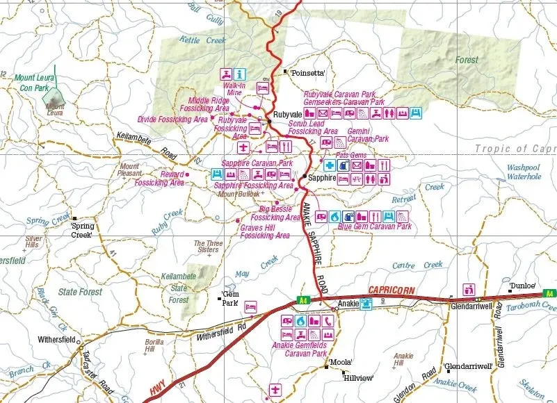
- Inset maps of Mackay, the Capricorn Coast, Gladstone, Bundaberg, Rockhampton, and the Gemfields
- Comprehensive national park details
- Extensive tourist information for planning trips
- Camping and rest area locations
- Index and distance charts for effortless navigation
Key Specifications
- Edition: 1st
- Publication Date: 01/01/13
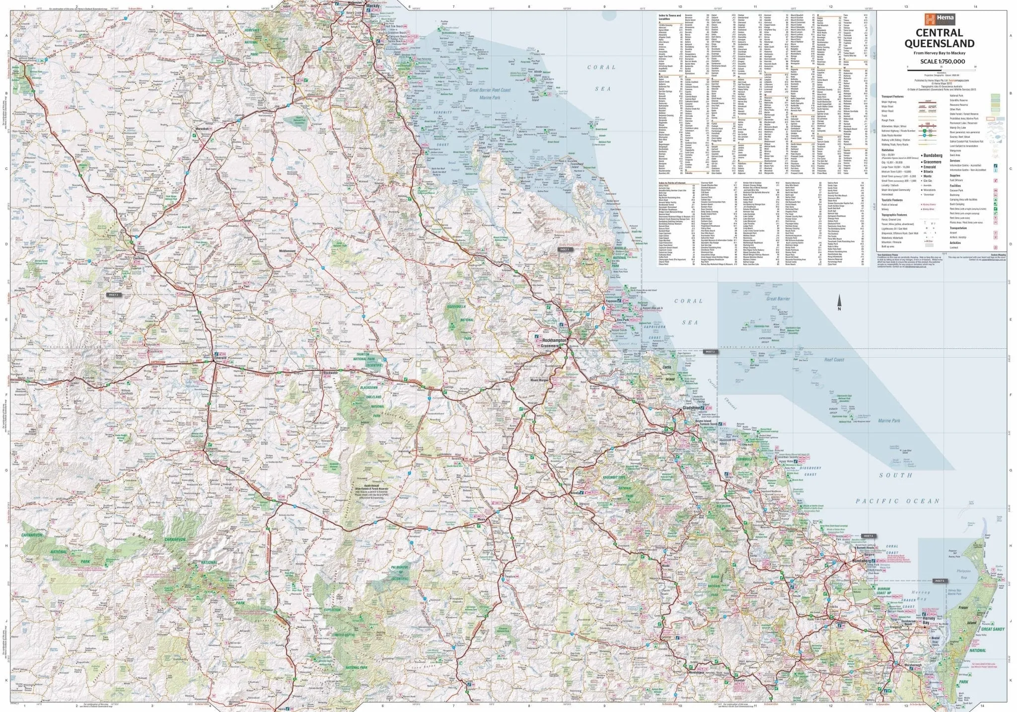
- Scale: 1:750,000
- Folded Size (WxHxD): 140mm x 250mm x 3mm
- Flat Size (WxH): 700mm x 1000mm
- Weight: 0.09kgs
The reverse side of the map offers rich insights into the region with photographs, background information, and travel tips for each area. Whether you're visiting the coastal areas, exploring the Gemfields, or relaxing in one of the national parks, this map provides all the details you need to create unforgettable memories.
About the Publisher:
This Central Queensland map is produced by a leading cartography and travel guide publisher, renowned for creating high-quality, easy-to-use maps. Their commitment to accuracy and usability makes this map a reliable companion for every traveller.


")
